GPM satellite shows double eye-wall in Hurricane Jimena

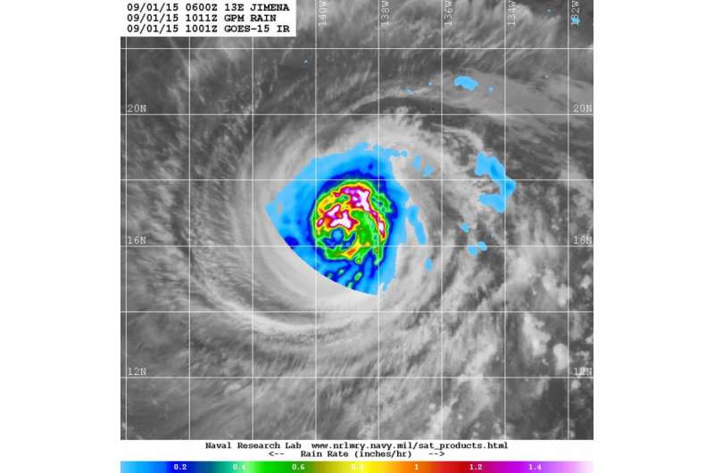
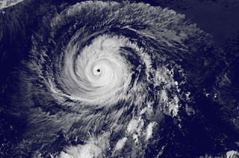
The Global Precipitation Measurement or GPM core satellite showed a double eye-wall in Hurricane Jimena on September 1 as it moved through the Eastern Pacific and into the Central Pacific Ocean.
The GPM satellite is a shared satellite between NASA and the Japan Aerospace Exploration Agency. GPM can measure rainfall rates from space and determine the heights of thunderstorms that make up a hurricane like Jimena. Very heavy rainfall was occurring in the powerful thunderstorms circling Jimena's eye.
National Hurricane Center (NHC) forecaster Roberts noted in the 11 a.m. EDT discussion that "Enhanced infrared images and an earlier microwave overpass from the Global Precipitation Measurement satellite continue to show the presence of a double eyewall structure with evidence of erosion of Jimena's inner eyewall in the southern portion. Since the overall presentation reveals decay of the eyewall, the initial intensity is lowered to 105 knots."
On September 1 at 5 a.m. EDT (0900 UTC), the eye of Hurricane Jimena was located near latitude 16.4 North and longitude 139.1 West. That's about 1,075 miles (1,730 km) east of Hilo, Hawaii. Maximum sustained winds remained near 130 mph (215 kph) and Jimena is a category 4 hurricane on the Saffir-Simpson Hurricane Wind Scale. The National Hurricane Center expects slow weakening during the next two days.
Jimena was moving toward the west near 13 mph (20 kph). A turn toward the west-northwest is expected later on September 1. The estimated minimum central pressure is 948 millibars.
Jimena has moved into the Central Pacific basin, so the Central Pacific Hurricane Center will take over forecasting for this storm.

The NHC noted that sea surface temperatures are expected to remain relatively warm ahead of Jimena for several days and wind shear doesn't appear to be a factor affecting the storm. Jimena is expected to move in a northwesterly direction for the next couple of days.
Provided by NASA's Goddard Space Flight Center


