Study reveals wetlands are susceptible to rapid lowering in elevation during large earthquakes
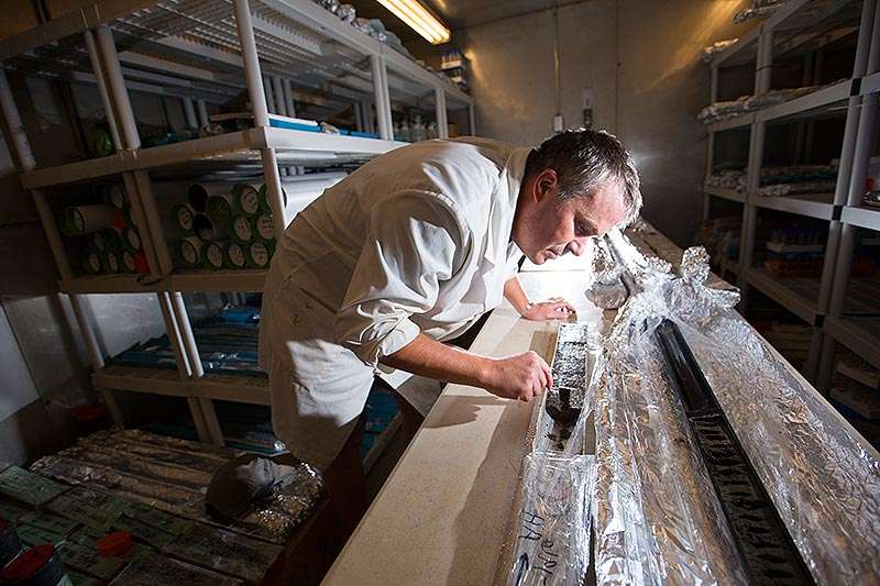
A California State University, Fullerton faculty-student study shows evidence of abrupt sinking of the wetlands near Seal Beach, Calif., caused by ancient earthquakes that shook the area at least three times in the past 2,000 years—and it could happen again, the researchers say.
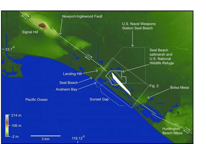
The paleoseismology study reveals that the wetlands at the National Wildlife Refuge Seal Beach, a nearly 500-acre area located within the Naval Weapons Station Seal Beach and next to the communities of Seal Beach and Huntington Harbor, are susceptible to rapid lowering in elevation during large—over 7.0 magnitude—earthquakes.
"Imagine a large earthquake—and it can happen again—causing the Seal Beach wetlands to sink abruptly by up to three feet. This would be significant, especially since the area already is at sea level," said Matthew E. Kirby, CSUF professor of geological sciences.
Kirby and colleague Brady P. Rhodes, CSUF professor emeritus of geological sciences, and CSUF alumnus Robert J. Leeper, whose master's thesis is based on the research findings, led the study. The researchers mentored numerous CSUF geology students and collaborated with geologists and earthquake experts, including those from the U.S. Geological Survey (USGS).
The researchers' study, "Evidence for Coseismic Subsidence Events in a Southern California Coastal Saltmarsh," was published Monday in Scientific Reports, an open-access, peer-reviewed Nature research journal.
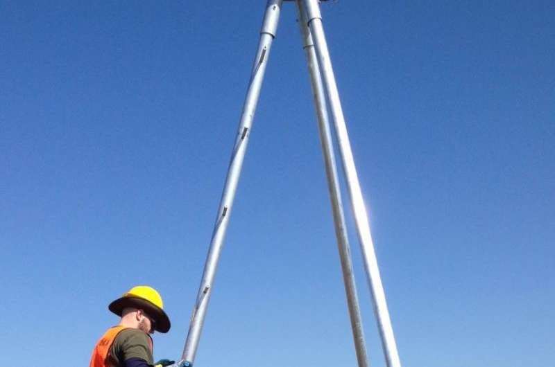
Leeper, now a doctoral student in the earth sciences program at University of California, Riverside, is the lead author of the paper, and CSUF co-authors are Kirby; Rhodes; Joe Carlin, assistant professor of geological sciences; and 2016 geology graduate Angela Aranda, who for her master's thesis analyzed sediment cores from the wetlands. Other collaborators and co-authors are Katherine Scharer and Scott Starratt of the USGS; Eileen Hemphill-Haley, consulting micropaleontologist; and Simona Avnaim-Katav and Glen MacDonald from UCLA.
Located off Pacific Coast Highway between Belmont Shores and Sunset Beach, the Seal Beach wetlands likely formed due to complex, lateral movement of the Newport-Inglewood fault, said Leeper. The wetlands straddle a segment of the fault system, which extends from Beverly Hills in the north to the San Diego region in the south.
The study identifies three previously undocumented earthquakes in the area over the past 2,000 years, noted Leeper, who earned his bachelor's degree in 2013 and master's degree in 2016, both in geology, at Cal State Fullerton. The last big quake to cause the land to abruptly drop occurred approximately 500 years ago, he pointed out.
"These research findings have important implications in terms of seismic hazard and risk assessment in coastal Southern California and are relevant to municipal, industrial and military infrastructure in the region," added Leeper, a former USGS geologist whose work focused on natural hazards. He recently left the scientific agency to concentrate on his doctoral studies.
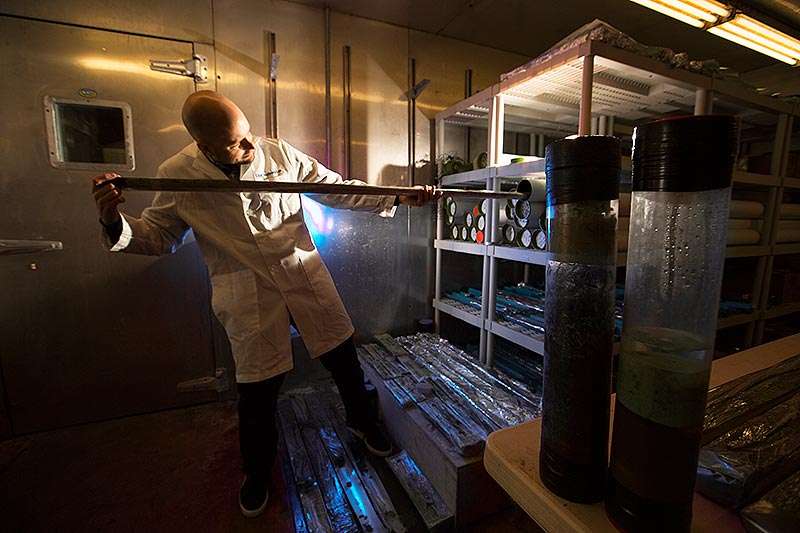
This new study stems from National Science Foundation-funded research on past occurrences of tsunamis along Southern California's coastal wetlands that Kirby and Rhodes began in 2012. As an undergraduate, Leeper joined their study, which turned up no evidence of previous tsunamis in Orange County or the region.
Soil samples analyzed in Kirby's lab from mud cores collected from the Seal Beach wetlands, combined with the study of microscopic fossils to identify the past environment, pointed the researchers in a new direction. The analyses revealed buried wetland surface layers, signaling evidence of sinking in the area from past massive earthquakes.
"Since that epiphany in 2013, our research evolved and has involved many other collaborators, each providing a skill or expertise that helped to develop our conclusions," Kirby said.
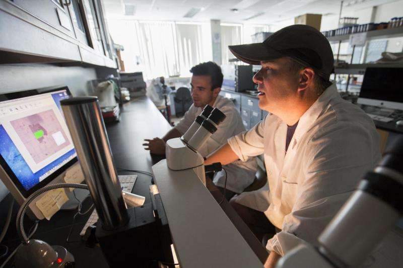
CSUF's Carlin, his students and Leeper are continuing to study the Seal Beach wetlands to further investigate potential seismic hazards, as well as the poorly understood Newport-Inglewood fault system.
"We're looking to identify other past earthquake events in the sediment record from other cores from the wetlands," Carlin said. "The goal is to get a better understanding of how often earthquakes may have occurred in the past, the hazards associated with this fault—and the probability of the next earthquake."
More information: Robert Leeper et al. Evidence for coseismic subsidence events in a southern California coastal saltmarsh, Scientific Reports (2017). DOI: 10.1038/srep44615
Journal information: Scientific Reports
Provided by California State University, Fullerton


